Nowadays we take it for granted that Pakenham is a bustling suburb on the outer south-east edge of sprawling Melbourne.
But many can still remember a time when it wasn’t always so.
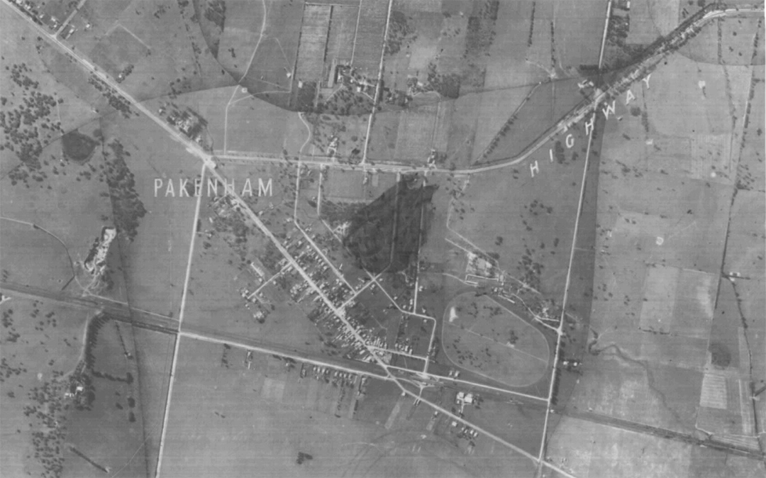
Historic DELWP aerial maps of Victoria shot on film from aircraft and painstakingly pieced together for regional overviews show quite a different picture of the township in the 1930s and ’40s.
You can see why Main Street has its name … and there’s not a bypass to be seen – nor the traffic snarls that go with it now.
And whatever happened to that racecourse…
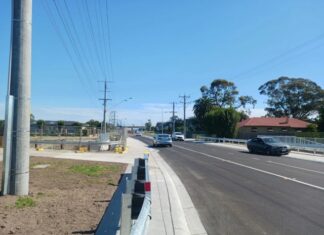
(Use the slider to see the before and after photos)


